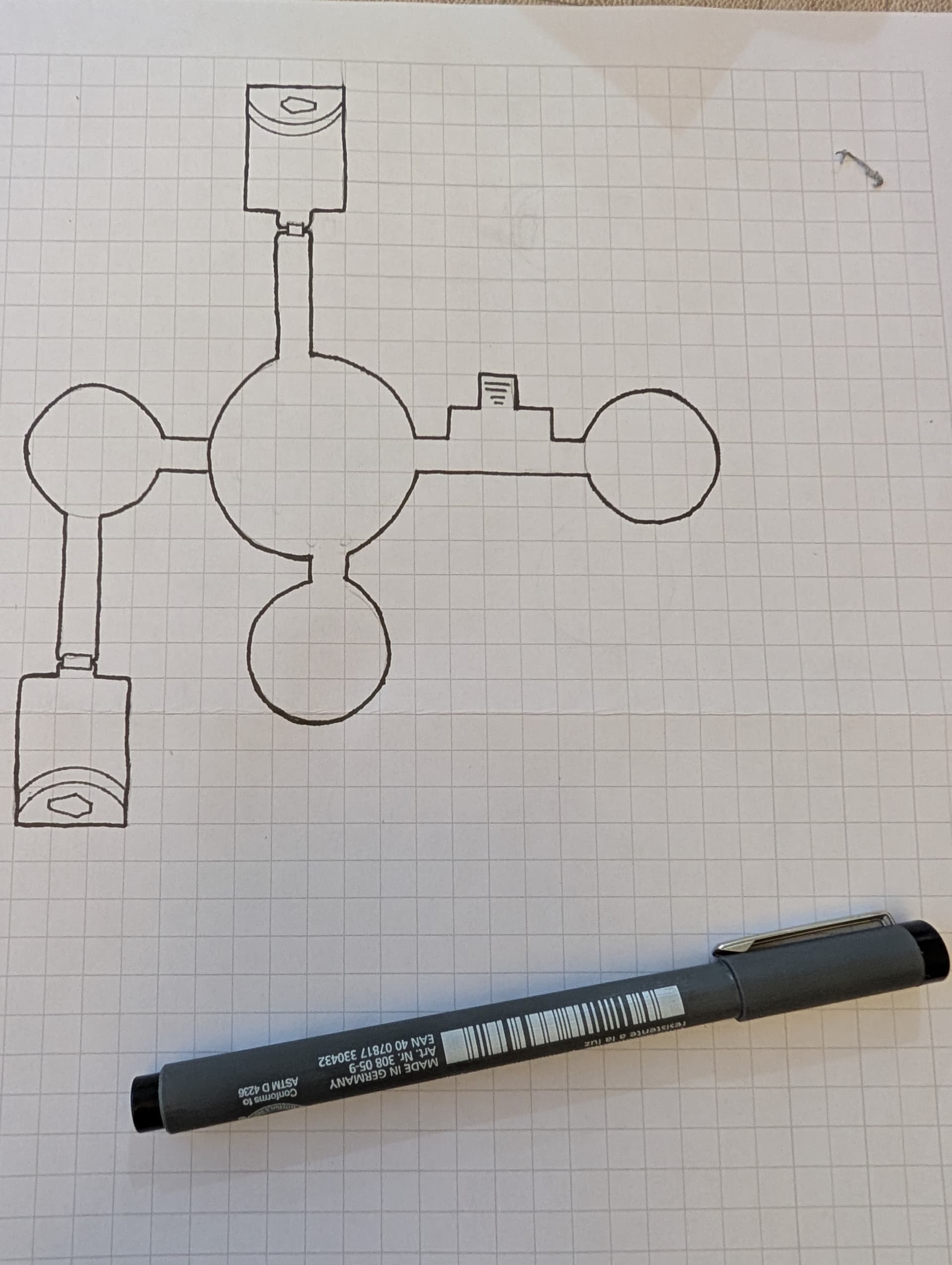
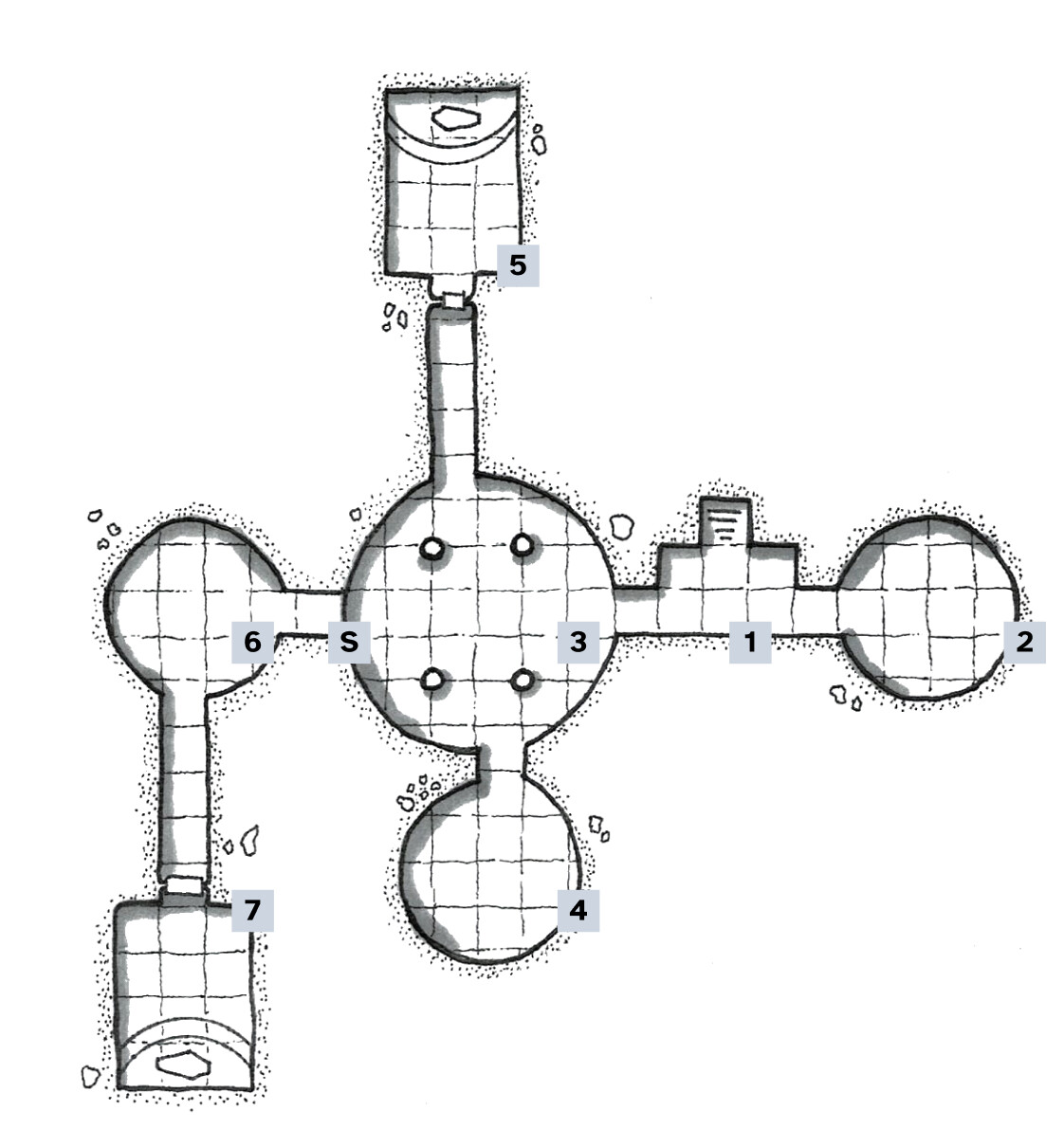
Just a few random notes re: mapping. I run into these problems often, most recently while working on this thingie.
- What I always find tricky when mapping is the representation of verticality and three-dimensionality in general…
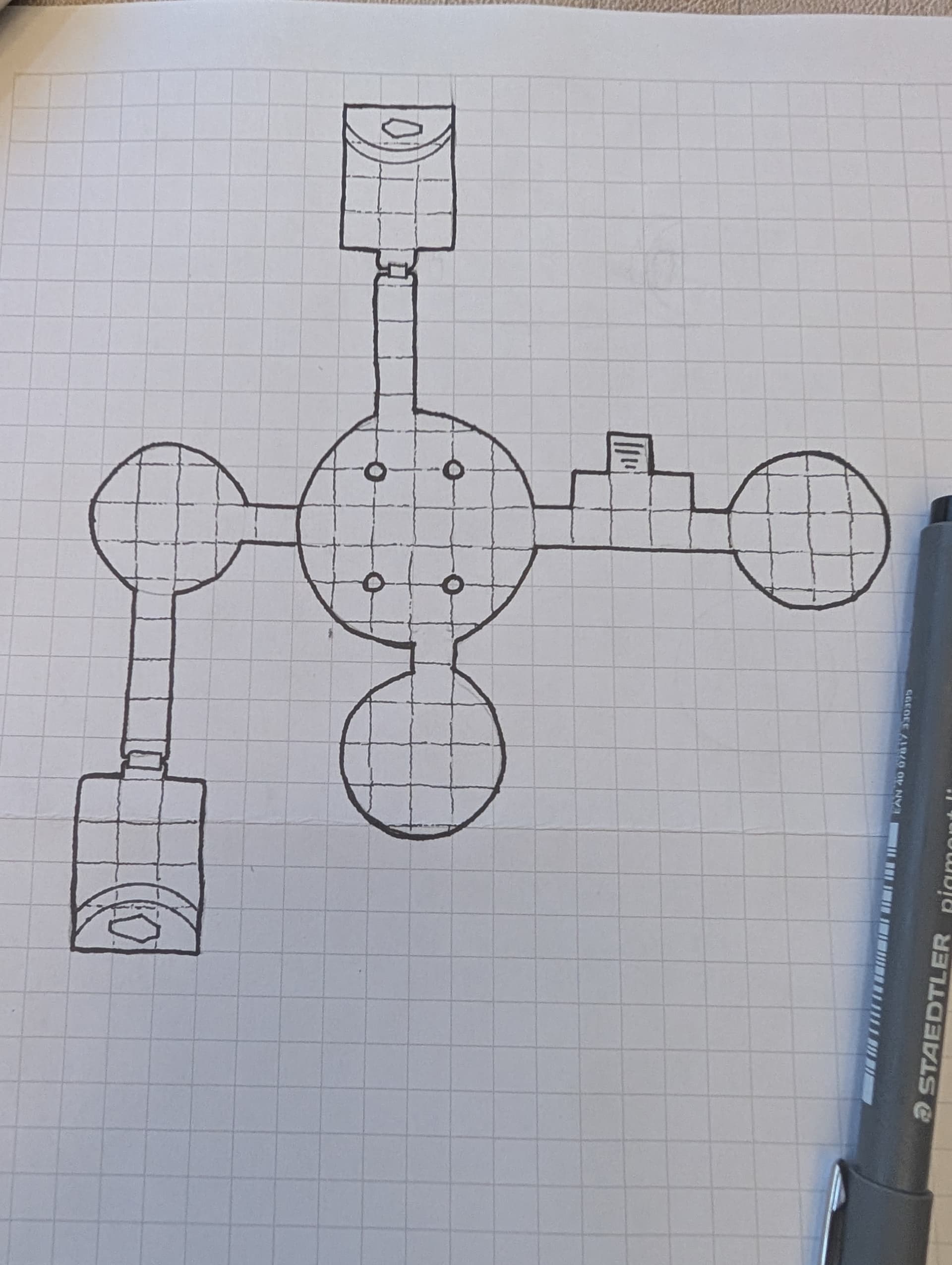
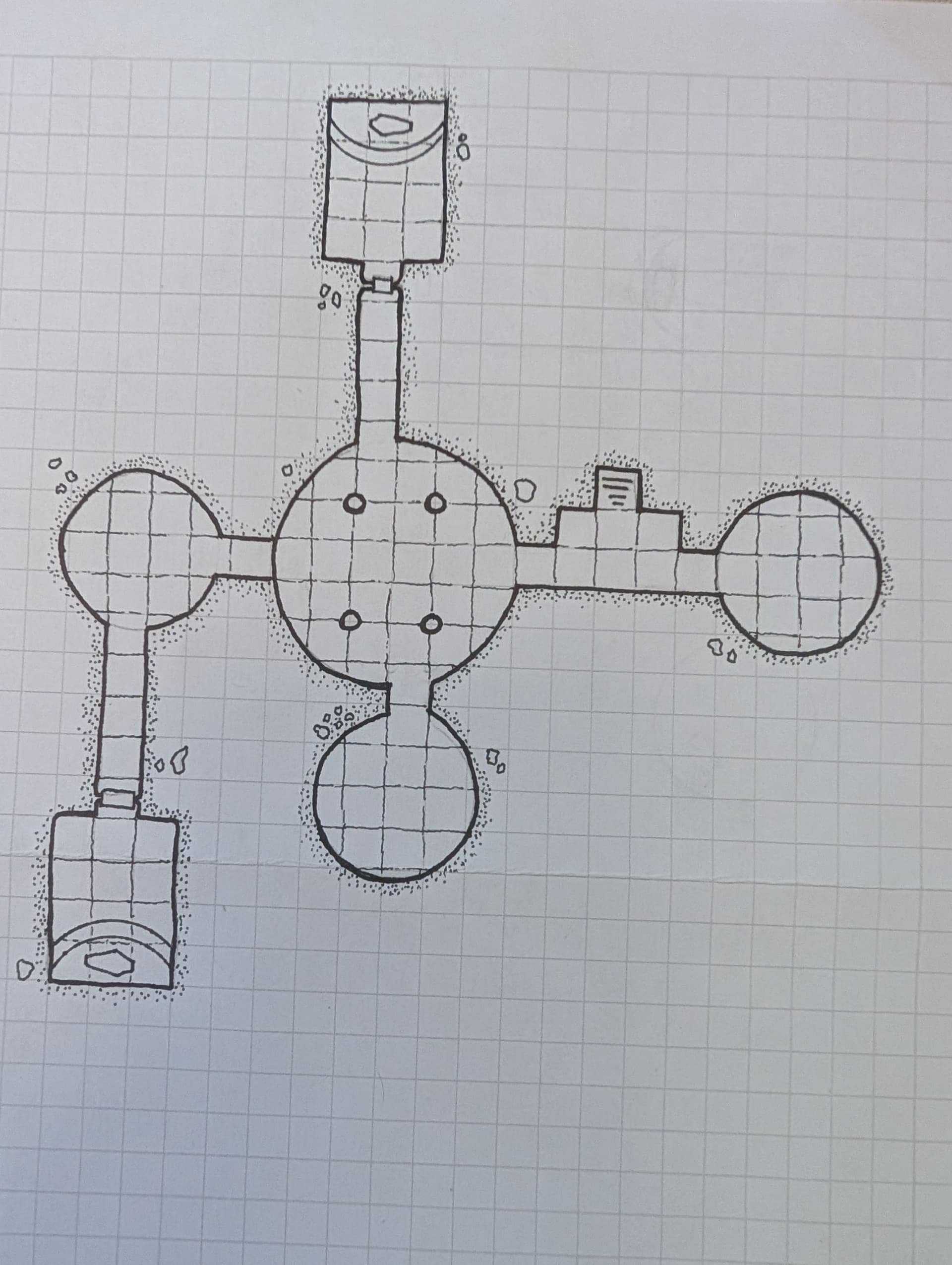
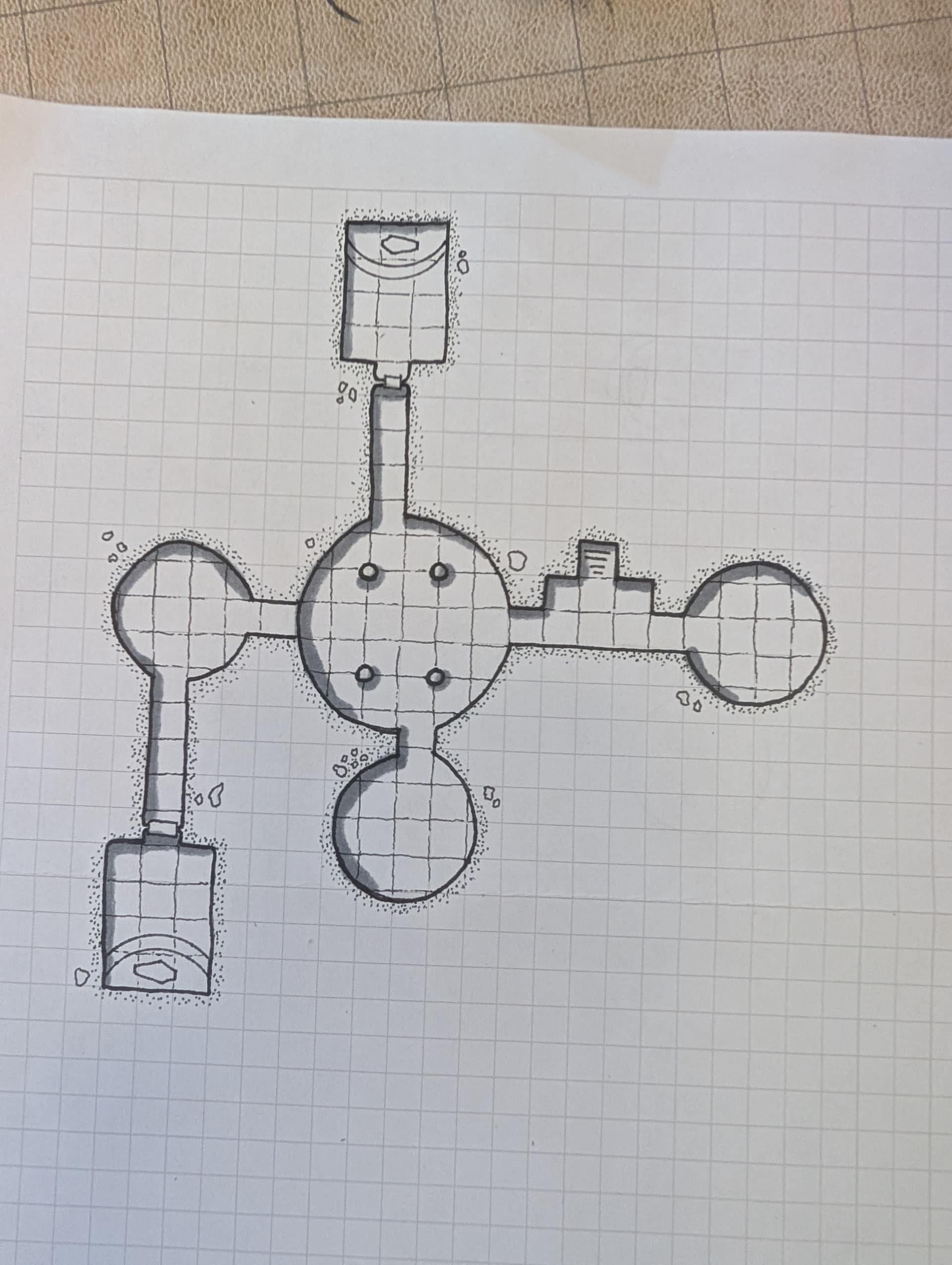
The basic map is a two-dimensional projection, “seen from above” at ground level/foundation. This works well – until you introduce any element that would overlap with the floor in this projection.
Corridors ducking under each other are relatively simple to represent.
Balconies, catwalks, bridges are slightly harder, with dotted lines.
In certain instances, it’s just the easiest to draw a cross-section of the room. Much easier than trying to remember it or trying to conveying it with word only in a publication.
I also find that such an easy thing as writing a word or two on the map does a lot of heavy lifting… “bridge, 40’ above”, “lake, 10’ deep”, “window at 15’”, very useful…
- And then you have “dungeon” vs “architecture”.
Dungeons are good, because they are mostly PURELY INTERIOR. Underground or cut into bedrock or whatever.
When you are doing a free-standing building, your work-load quadruples right away. A dungeon room that, say, takes up 12 squares on your map is just that: 12 squares.
A free-standing building with the same footprint will have a roof. Several levels. Might have windows, doors, etc. A fortress will have a courtyard, space on top of the walls, inside the towers…
So you have to decide what to map out 1:1 and what to abstract or generalize.
The “old-school” approach is to map out everything, have several overlaying maps (at ground level, at roof level, etc.). If there are repeating instances, e.g. bastion of a fort, you map out just one. But there is a limit, and perhaps here it’s good to think about whether it’s worth to do such a map, whether it will really come up in play. Will there be a “dungeon crawl style” exploration procedure – or will it be more generalized.
[/random notes]